Total miles: 7
Alex has been wanting to do Mt. Field for some time now, since she finds it amusing that a mountain is called "Field." This mountain is named after Darby Field, the first recorded person to climb Mt. Washington.
Mt. Tom is right next to Field, and the two together make a relatively easy hike.
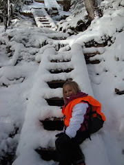
We parked at the Crawford Notch depot and crossed the train tracks, arriving at the trailhead just after 7am.

The first 1.3 miles of the Avalon trail is a very lovely, mellow hike. It's rather flat and rambles along a nice river with pretty waterfalls. The path also crosses the water a few times.

Alex and I barely broke a sweat on this part, moving quickly (for us) up to the A-Z Trail intersection.

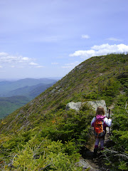
The A-Z trail was not as easy as the first part of the Avalon. It was a moderately steep climb interspersed with a few flat bits.

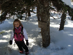
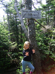
After a mile, we came to the Tom Spur Trail.

The spur trail climbed at easy grades, except for this one little bit near the top.

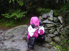
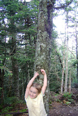
On the way up, Alex saw this blown over tree and thought the roots looked like an octopus. She took this picture.

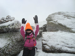
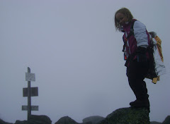
We reached a false summit on Tom. There was a path leading left and a path leading right. To the left was a cairn marking the true summit.

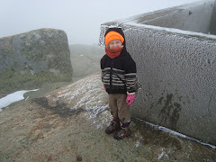
Wasn't much of a view from the summit itself. If you stood and peered over the trees, you could see a little bit...

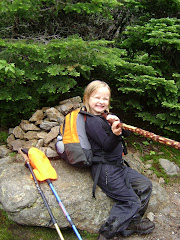
Alex took a couple of pictures.


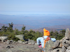
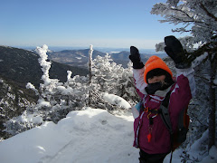
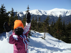
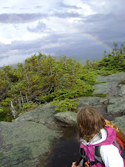
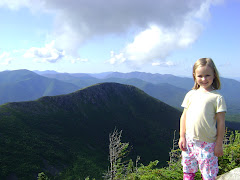
Alex changed into a short-sleeve shirt, as we were now feeling a bit toasty. We then went back to the false summit and took the other short trail to a fantastic look-out point.

You can see Mt. Washington in this next picture.

After taking in the views, we returned down the Tom Spur Trail, then walked a few yards further along the A-Z Trail until we came to the Willey Range Trail (which takes you to Mt. Field).

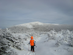
The Willey Range Trail from the A-Z to Mt. Field is extremely easy. It never got steep, it just looked like this the whole 0.9 miles.

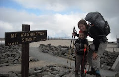
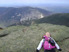
There was a hundred yard uphill climb (not a big deal) to the summit, and then there we were, on top of Mt. Field. A nice lady who was there with her husband and dog took our picture.

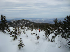
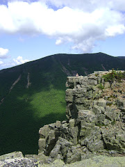
The summit is completely treed in, but there was a little dirt path to a blown-down area which afforded a view.

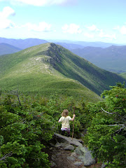
From here, many people go and tackle a third summit which is close by, Mt. Willey. It's 1.4 miles away from the summit of Field. I asked Alex if she wanted to do that, stressing it would add about three miles to our trip. I told her I was game if she was, or we could call it a successful day and head back down. She said she didn't think she had enough energy to do Willey today, and asked if we could do that one another time.
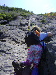
From Mt. Field, we took the Avalon path. This top part, which we had not traversed earlier, was very rocky and steep. It looked like this, but most of the time it was much, much steeper.

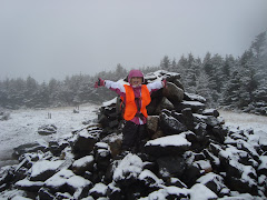
I was glad we were going down this path instead of coming up it. 1.5 miles of unrelenting rock slabs down down down. We passed the sign for Mt. Avalon (not a 4000 footer) but we decided not to take the short detour. We were both tired and ready to get back to the easier part of Avalon, the bit after the A-Z intersection. Finally we got down the hard part, and came upon a group of nice hikers eating their lunch. One of the women offered to take our picture.

From here, it was an easy 1.3 mile walk back to the trailhead.

This brings our total to 9 peaks!


No comments:
Post a Comment
Note: Only a member of this blog may post a comment.